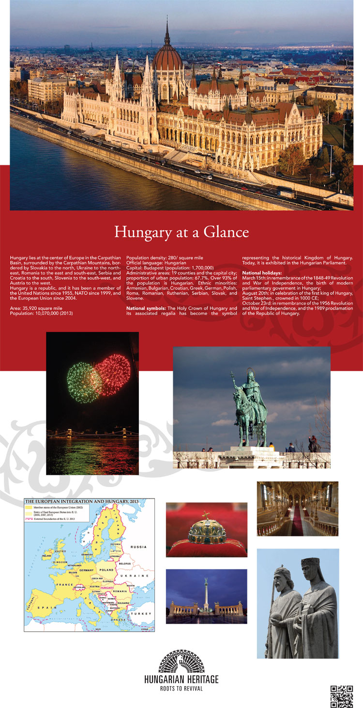
Hungary lies at the center of Europe in the Carpathian Basin, surrounded by the Carpathian Mountains, bordered by Slovakia to the north, Ukraine to the northeast, Romania to the east and south-east, Serbia and Croatia to the south, Slovenia to the south-west, and Austria to the west.
Hungary is a republic, and it has been a member of the United Nations since 1955, NATO since 1999, and the European Union since 2004.
Area: 35,920 square mile
Population: 10,070,000 (2013)
Population density: 280/ square mile
Official language: Hungarian
Capital: Budapest (population: 1,700,000)
Administrative areas: 19 counties and the capital city; proportion of urban population: 67.7%. Over 93% of the population is Hungarian. Ethnic minorities: Armenian, Bulgarian, Croatian, Greek, German, Polish, Roma, Romanian, Ruthenian, Serbian, Slovak, and Slovene.
National symbols: The Holy Crown of Hungary and its associated regalia has become the symbol representing the historical Kingdom of Hungary. Today, it is exhibited in the Hungarian Parliament.
National holidays:
March 15th: in remembrance of the 1848-49 Revolution and War of Independence, the birth of modern parliamentary goverment in Hungary;
August 20th: in celebration of the first king of Hungary, Saint Stephen., crowned in 1000 CE;
October 23rd: in remembrance of the 1956 Revolution and War of Independence, and the 1989 proclamation of the Republic of Hungary.